
Course Description
Geographic Information System (GIS) software manages data that represent the location of features (geographic coordinate data) and what they are like (attribute data); it also provides the ability to query, manipulate, and analyze those data. Because GIS allows one to represent social and environmental data on maps, it …
Geographic Information System (GIS) software manages data that represent the location of features (geographic coordinate data) and what they are like (attribute data); it also provides the ability to query, manipulate, and analyze those data. Because GIS allows one to represent social and environmental data on maps, it is a powerful tool for analysis and planning in various fields. This course is meant to introduce students to the basic capabilities of GIS.
Course Info
Instructors
Departments
Learning Resource Types
theaters
Tutorial Videos
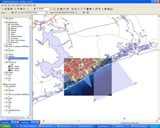
A portion of the coast of North Carolina, displayed using GIS software. (Image courtesy of Daniel Godwin on Flickr. License: CC BY-NC.)


